


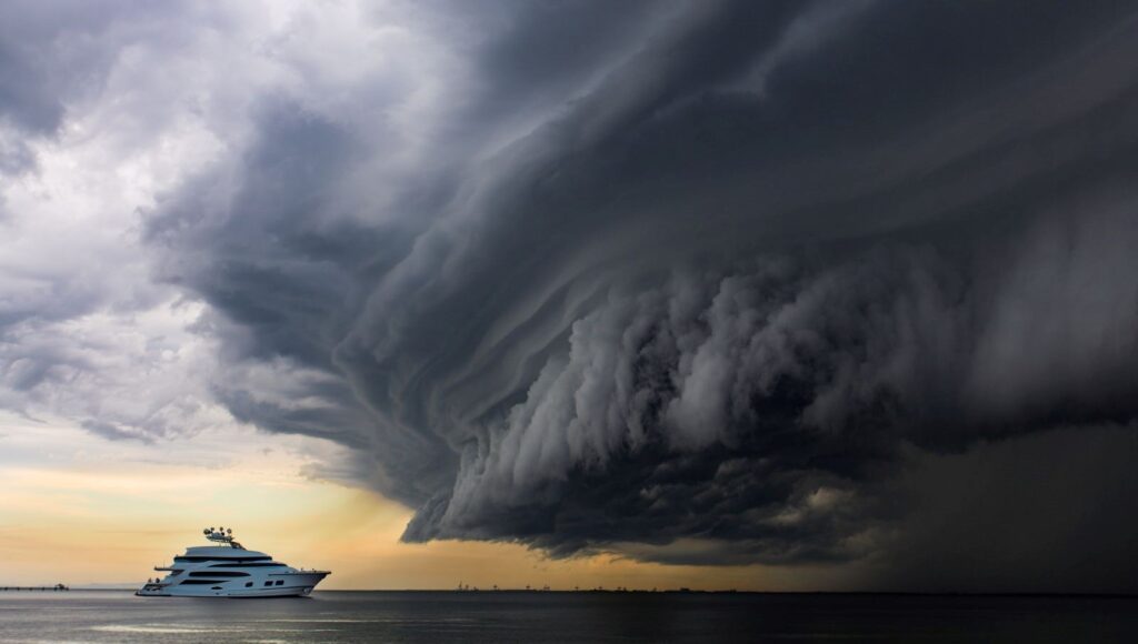


NASA Satellite Discovery: Thousands of Hidden Mountains on Ocean Floor!
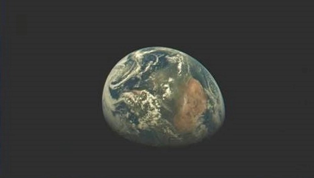
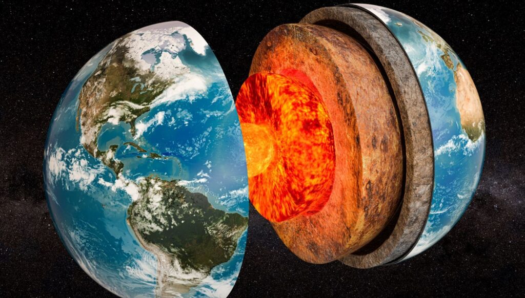
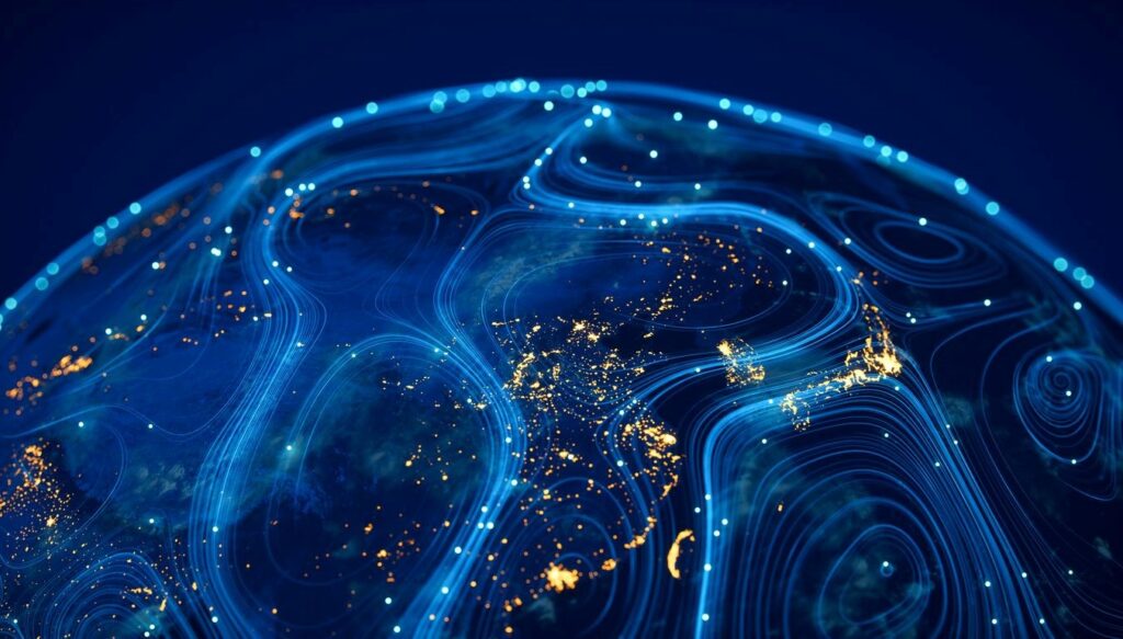
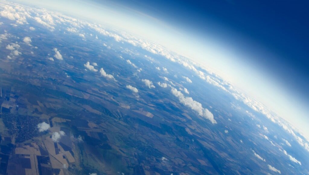
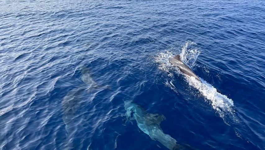
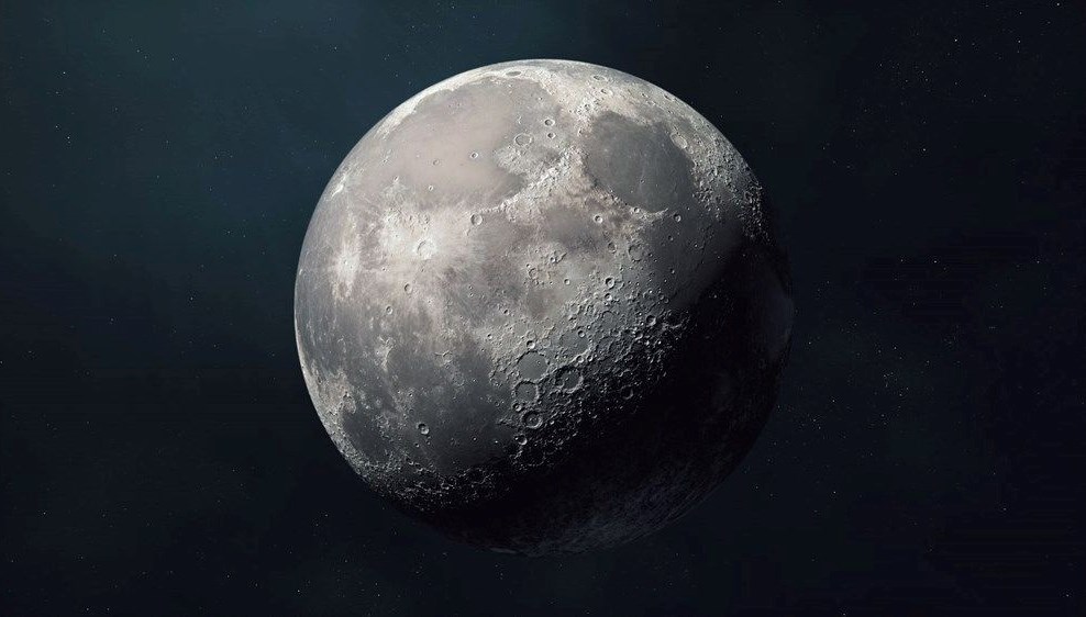
The SWOT satellite, owned by NASA, revealed mountainous structures under the sea by using millimetric changes on the ocean surface. The scientific world had previously mapped the surface of the Moon more detailed than the ocean floor of Earth.
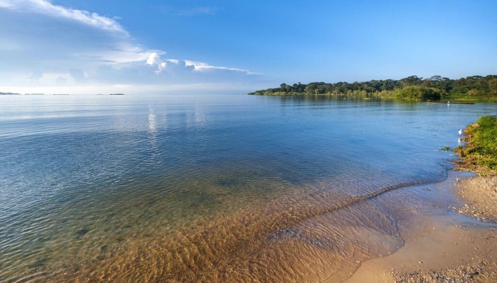
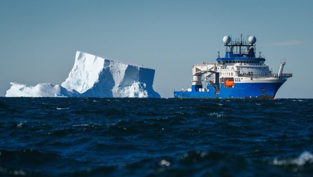
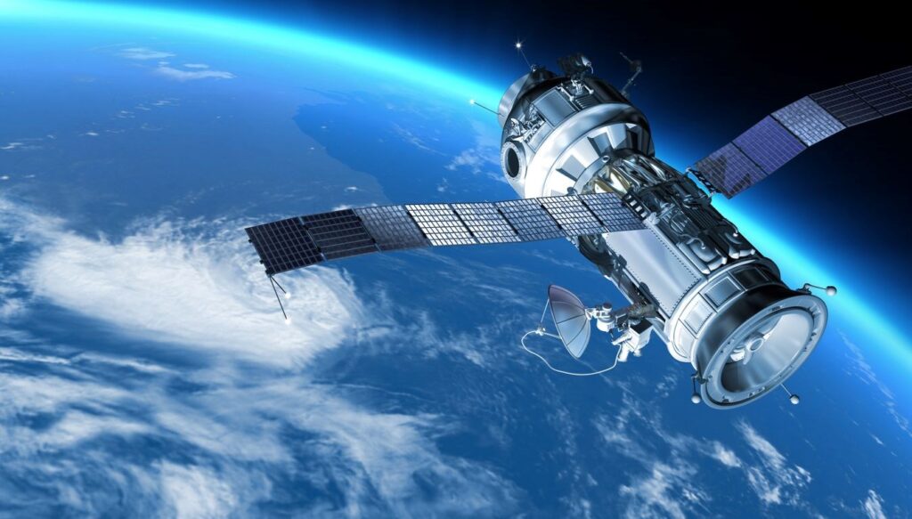
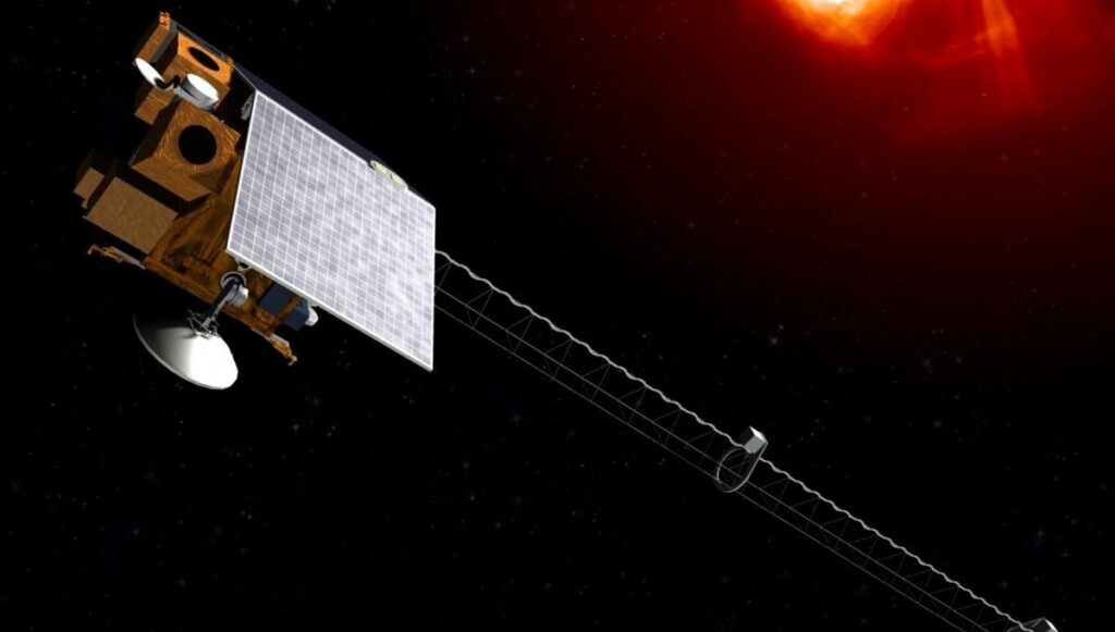
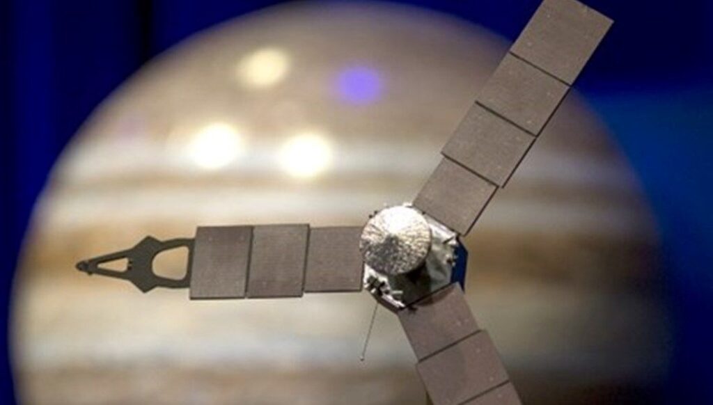
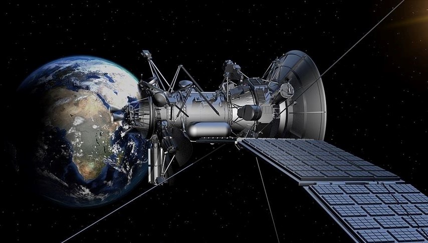
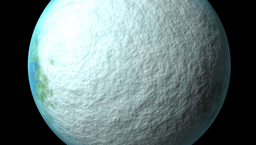
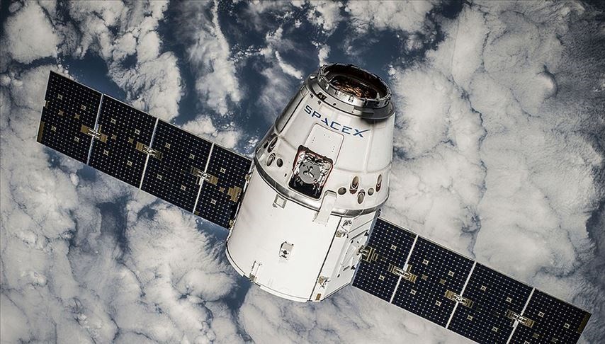
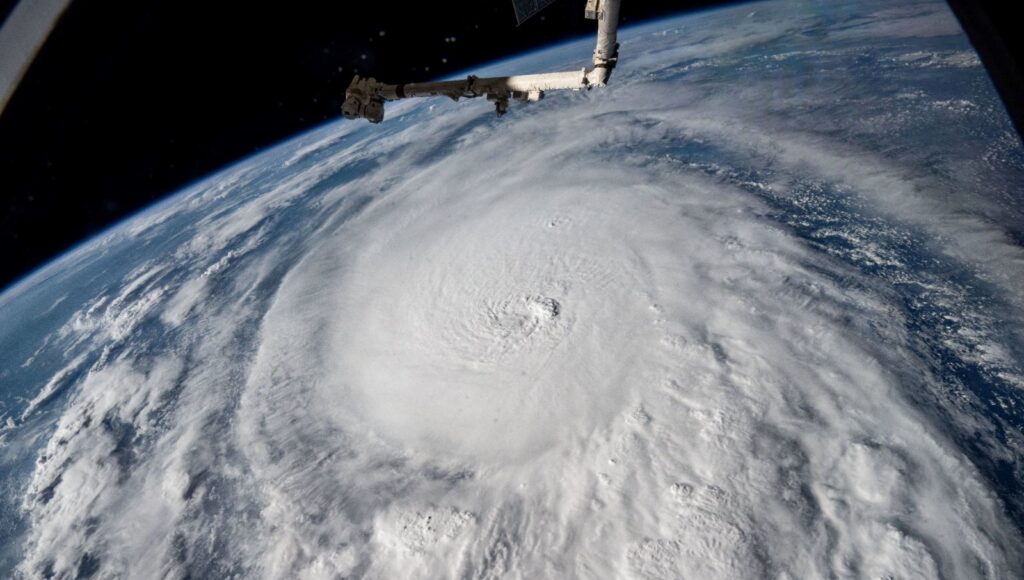
NASA’s SWOT (Surface Water and Ocean Topography) satellite unveiled unprecedented details of Earth’s oceans.
The satellite mapped over 100,000 unknown mountains and peaks on the ocean floor using millimetric height changes on the ocean surface.
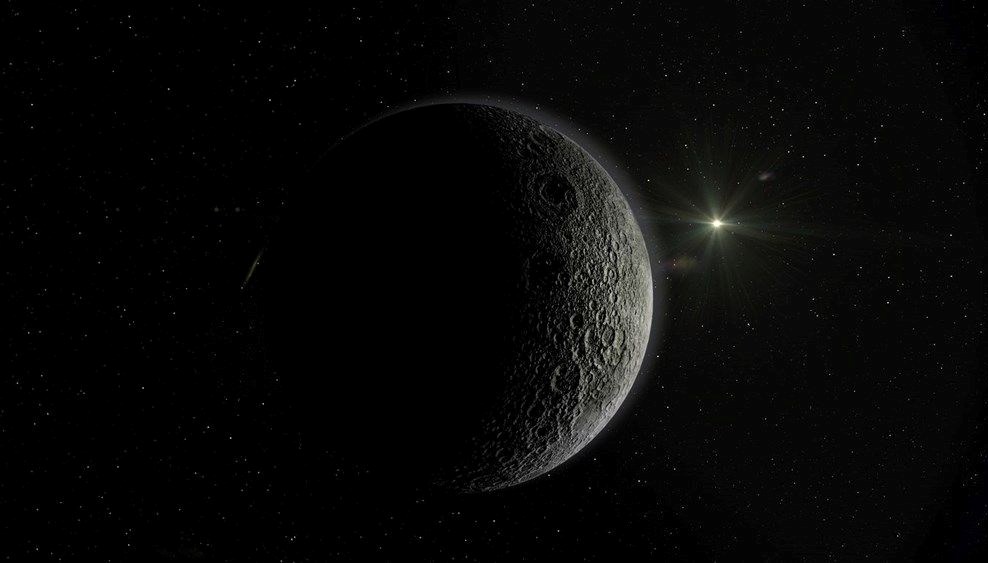
DETAILED STUDY OF THE MOON’S SURFACE MORE THAN THE OCEAN The scientific community had mapped the Moon’s surface in more detail than that of the Earth’s ocean floor.
However, the SWOT satellite, a joint project of NASA and the French Space Agency CNES, began to change this situation.
IMPORTANCE OF MAPPING THE OCEAN
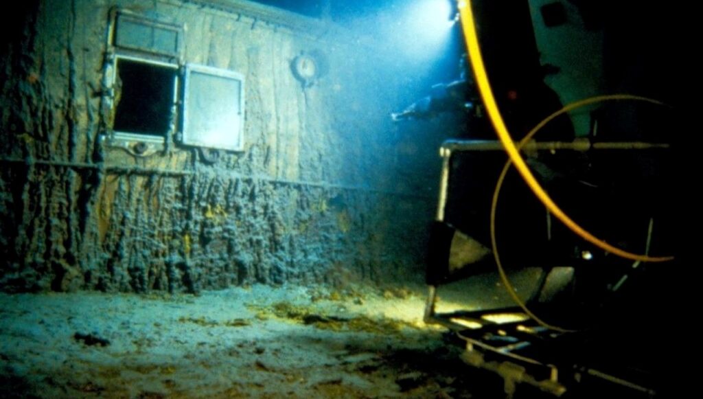
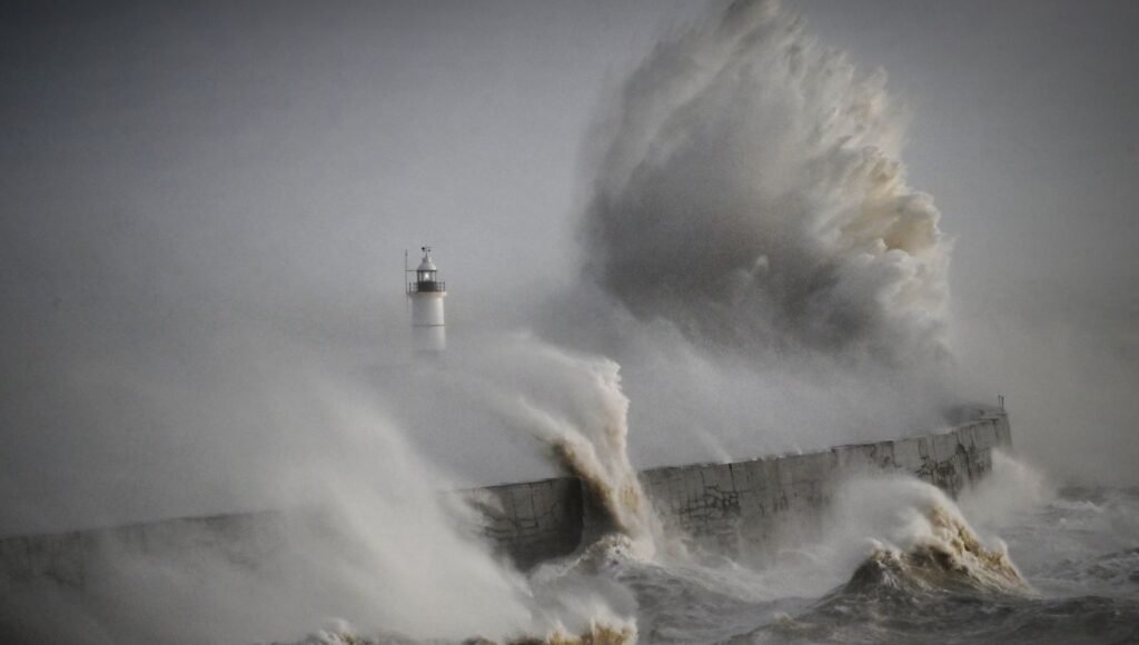
Accurately mapping the ocean floor is crucial in various areas such as safe maritime transport, laying communication cables, deep-sea currents, and plate tectonics.
Geological structures like underwater mountains and abyssal hills influence the heat and nutrient flow in the deep oceans, shaping the habitats of marine life. SCANNING EVERY 21 DAYS The SWOT satellite can scan approximately 90% of the Earth’s surface every 21 days. By determining changes on the ocean surface reaching a few centimeters, the satellite can identify the underlying structures causing these differences. Geophysicist David Sandwell and his team mapped the mountainous regions underwater in detail using one year of SWOT data.
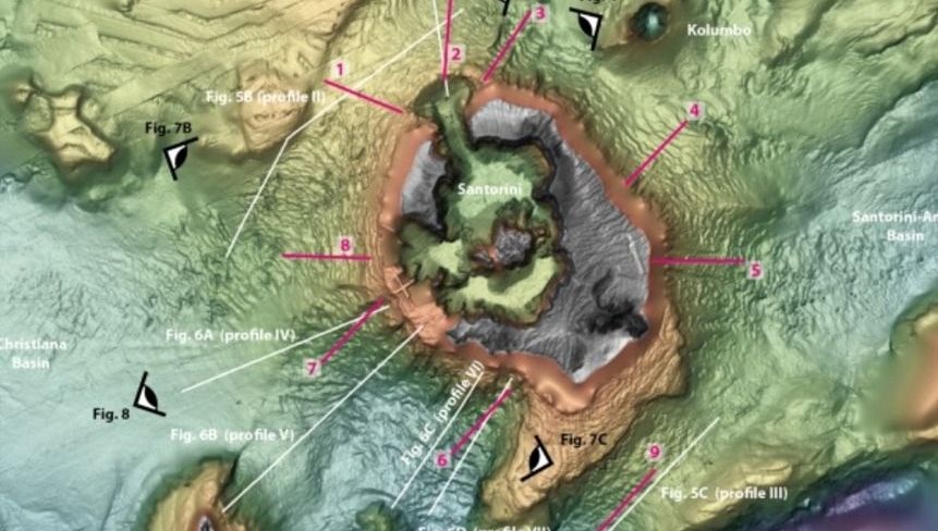
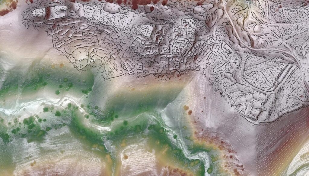
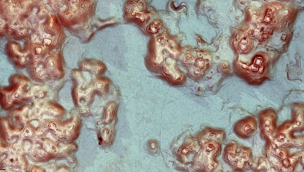
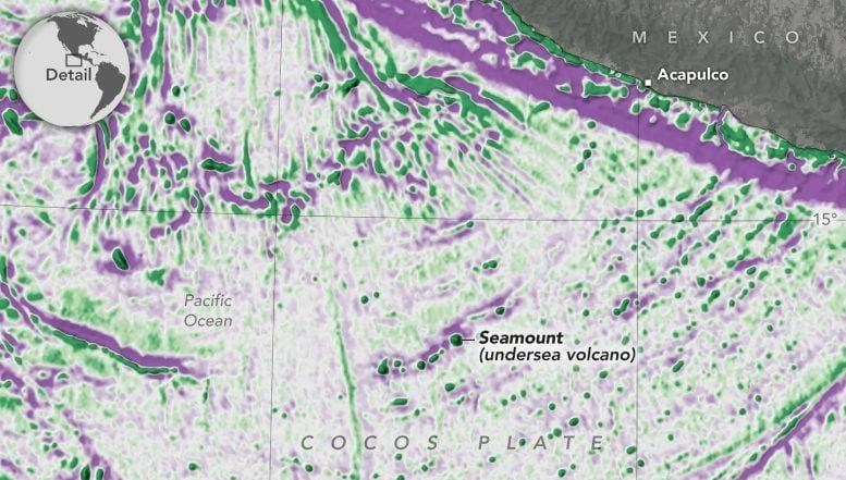
On the map, the color purple indicates depressions on the ocean floor, while green shows higher mass mountainous regions.
DETECTING 500-METER-HIGH MOUNTAINS Previous satellite observations could only detect large mountains with a height of 1 kilometer. With SWOT, this limit has decreased to 500 meters, increasing the number of known underwater mountains from 44,000 to 100,000.
Researchers claim to have extracted a significant amount of existing information from SWOT data and are now focusing on calculating the depth of these structures. This study will significantly contribute to the international scientific community’s goal of mapping the entire ocean floor with sonar by 2030.